Selecting the right season to trek to Tilicho Lake makes the whole adventure come together. Favorable weather means fewer injuries on the trail, clearer skies, and the possibility of viewing crystalline waters and majestic mountains without severe weather.
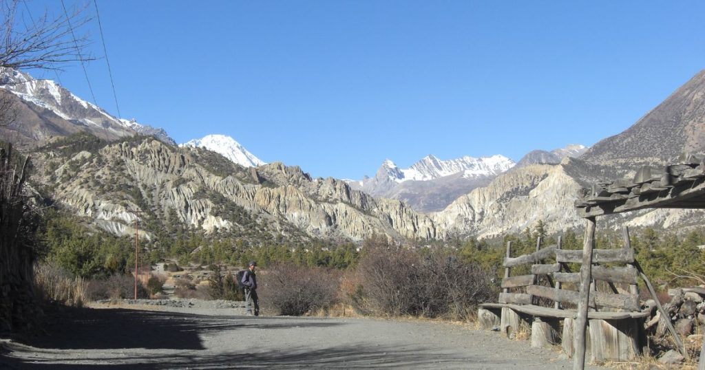
Spring (March- May): Spring is characterized by clear skies, fresh air, and blossoming rhododendrons. The trails are dry, the weather is constant, and the 4,920m ascent to Tilicho Lake is safe and motivating.
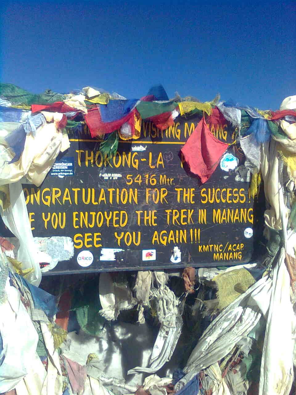
Autumn (end of September to November): The Himalayas become sharp with visibility after the monsoon, making them photogenic. The trails harden, the conditions are predictable, and it is safer to pass Thorong La (5,416m), accompanied by golden sunrises and peaceful evenings.
Winter (December to February): Winter brings snowy and is also very cold. The route to Tilicho Base Camp will be frequently blocked by snow, and lodges above the altitude might be closed. This path should be tackled only by well-equipped trekkers, as it requires strength and equipment.
Monsoon (June to August): Trails become extremely wet, making them slippery and visibility poor. Even the road leading to Tilicho Lake is perilous. The season itself is not recommended; the journey becomes neither as safe nor as scenic.